Vietnam Land law has regulations on administrative boundaries and base investigation on land. Let’s find out this issue with lawyer X through the following situation: “Dear Lawyer! I want to aske what are Administrative boundaries? How can the state make base investigation on land? Thanks for answering me!”
Legal grounds
- 2013 Vietnam Land Law
What are administrative boundaries?
– The Government shall direct the identification of administrative boundaries and the compilation and management of administrative boundary records at all levels throughout the country.
The Minister of Home Affairs shall prescribe the order and procedures for identification of administrative boundaries and the management of boundary landmarks and administrative boundary records at all levels.
The Minister of Natural Resources and Environment shall prescribe the techniques and economic-technical specifications for placing administrative boundary landmarks and compiling administrative boundary records at all levels.
– People’s Committees at all levels shall organize the identification of administrative boundaries in the field and compilation of administrative boundary records in their respective localities.
Commune-level People’s Committees shall manage administrative boundary landmarks in the field in their respective localities. If the administrative boundary landmarks are lost, moved or damaged, commune-level People’s Committees shall promptly report this to the People’s Committees of districts, towns or provincial cities (below referred to as district-level People’s Committes.
– The administrative boundary records include paper and electronic documents showing information on the establishment and adjustment of an administrative unit and boundary landmarks and boundary lines of that administrative unit.
The superior People’s Committee shall certify the administrative boundary records of the immediate subordinate level. The Ministry of Home Affairs shall certify the administrative boundary records of provinces and centrally run cities.
The administrative boundary records of a level shall be archived at the People’s Committee of such level, the superior People’s Committee, the Ministry of Home Affairs and the Ministry of Natural Resources and Environment.
– Disputes over administrative boundaries among administrative units shall be settled by the People’s Committees of such administrative units through their coordination. If no agreement can be reached or the results lead to changes in administrative boundaries, the settlement competence is provided as follows:
+ If the dispute is related to the boundaries of provinces or centrally run cities, the Government shall submit it to the National Assembly for decision;
+ If the dispute is related to the boundaries of districts, towns or provincial cities or communes, wards or townships, the Government shall submit it to the National Assembly Standing Committee for decision.
The Ministry of Natural Resources and Environment, the land administration agencies of provinces and centrally run cities and the land administration agencies of districts, towns and provincial cities shall provide necessary documents and coordinate with competent state agencies in settling land disputes over administrative boundaries.
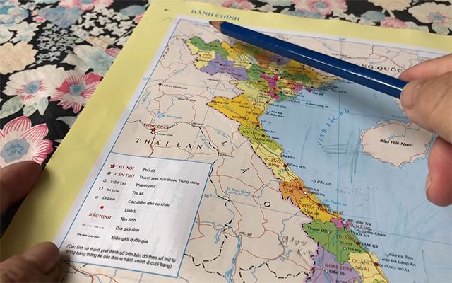
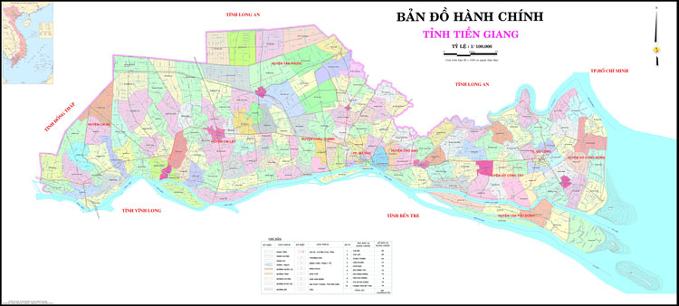
What are administrative maps?
– The administrative maps of a locality must be made based on the administrative boundary maps of such locality.
– The making of administrative maps must comply with the following provisions:
+ The Ministry of Natural Resources and Environment shall provide dữections and guidelines for making administrative maps of all levels nationwide and organize the making of administrative maps for the whole country and provinces and centrally run cities;
+ The People’s Committees of provinces and centrally run cities (below referred to as provincial-level People’s Committe+ shall organize the making of administrative maps of districts, towns and provincial cities.
Regulations on making and adjustment of cadastral maps
– The survey for the establishment of cadastral maps must be conducted for each land parcel in each administrative unit of commune, ward or township.
– The adjustment of cadastral maps is made when there are changes in shape, dimension, area of the land parcel or other factors related to the contents of cadastral maps.
– The Minister of Natural Resources and Environment shall prescribe the making, adjustment and management of cadastral maps for the whole country and conditions for practicing cadastral survey.
– Provincial-level People’s Committees shall organize the making, adjustment and management of cadastral maps in their respective localities.
Regulations on investigation and assessment of land
– Investigation and assessment of land include the following activities:
+ Investigating and assessing land quality and potential;
+ Investigating and assessing land degradation and pollution;
+ Investigating and classifying agricultural land;
+ Making land statistics and conducting land inventory;
+ Investigating and making statistics on land prices; monitoring land price changes;
+ Establishing and maintaining observation and supervision systems for land resources.
– Investigation and assessment of land include the following contents:
+ Sampling, analyzing and making statistics on observation data of, land;
+ Making maps on land quality, land potential, land degradation, land pollution, classification of agricultural land, and land prices;
+ Making assessment reports on land quality, land potential, land degradation, land pollution, classification of agricultural land, and land prices;
+ Making reports on land statistics and land inventory, current land use maps, and reports on land price and changes in land prices.
Organization of land investigation and assessment
– The Ministry of Natural Resources and Environment shall:
+ Organize, and publicize results of, investigation and assessment of land for the whole country and all regions once every 5 years and for each theme;
+ Direct the investigation and assessment of land for provinces and centrally run cities;
+ Summarize and publish results of investigation and assessment of land for the whole country.
– Provincial-level People’s Committees shall organize, and publicize results of, investigation and assessment of land of their respective localities, and send the results to the Ministry of Natural Resources and Environment for summarization.
– The Minister of Natural Resources and Environment shall prescribe the land investigation and assessment and conditions on the capacity of units which conduct land investigation and assessment.
Land statistics and inventories and the making of current land use maps
– Land statistics and inventories include periodical land statistics and inventories and thematic land inventories.
– Periodical land statistics must be made and land inventories must be conducted according to the following provisions:
+ Land statistics are made and land inventories are conducted for administrative units of communes, wards and townships;
+ Land statistics are made once a year, except the year when land inventory is conducted;
+ Land inventory is conducted once every 5 years.
– The current land use map must be made once every 5 years in connection with land inventory as prescribed in Clause 2 of Article 34.
– Thematic land inventories serving the state management of land must be conducted under decisions of the Prime Minister or the Minister of Natural Resources and Environment.
– Responsibilities for making land statistics and conducting land inventories and making current land use map are prescribed as follows:
+ The People’s Committees at all levels shall make land statistics and conduct land inventories and make current land use maps of their respective localities;
+ The People’s Committees at commune and district levels shall report the results of land statistics and inventories and the making of current land use maps of their respective localities to their immediate superior People’s Committees. Provincial-level People’s Committees shall report the results of land statistics and inventories and the making of current land use maps of their respective localities to the Ministry of Natural Resources and Environment;
+ The Ministry of National Defense and the Ministry of Public Security shall assume the prime responsibility for, and coordinate with provincial-level People’s Committees in, making statistics and conducting inventories on land used for national defense or security purpose, and send reports on their results to the Ministry of Natural Resources and Environment;
+ The Ministry of Natural Resources and Environment shall summarize and report to the Prime Minister and publicize the results of annual land statistics and 5-year land inventories for the whole country.
– The Minister of Natural Resources and Environment shall detail the making of land statistics, conducting of land inventories and making of current land use maps.
Please see more:
- Instructions for exclusive registration of company logos in Vietnam
- Service of changing the legal representative of Vietnamese enterprises
Services of Lawyer X
Prestigious professional services: Firstly, the team of consultants and consultants for many years in the field of civil status, and customer support.
On-time: Certainly, with the motto “Get your lawyer right at your fingertips”, we ensure the service always performs on time. The rights and interests of customers always come first.
Cost: Besides, Lawyer X’s service costs are highly competitive; depending on the nature of the particular case. So, we want our guests to have the best possible service experience. Therefore, costs which guaranteed to be the most suitable and economical for customers.
Confidentiality of client information: Finally, all personal information of clients Lawyer X will be 100% confidential.
If you need any further information, please contact LSX Law firm: at +84846175333 or Email: [email protected]
Frequently asked questions
The Government shall direct the identification of administrative boundaries and the compilation and management of administrative boundary records at all levels throughout the country.
The Minister of Home Affairs shall prescribe the order and procedures for identification of administrative boundaries and the management of boundary landmarks and administrative boundary records at all levels.
The Minister of Natural Resources and Environment shall prescribe the techniques and economic-technical specifications for placing administrative boundary landmarks and compiling administrative boundary records at all levels.
Conclusion: So the above is Administrative boundaries and base investigation on land in Vietnam. Hopefully with this article can help you in life, please always follow and read our good articles on the website: lsxlawfirm.com